Matlock is the county town of Derbyshire, England. It is situated at the south eastern edge of the Peak District. The town is twinned with the French town Eaubonne. The former spa resort Matlock Bath lies immediately south of the town on the A6. The Matlock area is considered to include Wirksworth, owing to the close proximity of the towns.
Matlock is nine miles (14 km) south-west of Chesterfield, and in easy reach of the cities of Derby (19 miles), Sheffield (20 miles), and Nottingham (29 miles); the Greater Manchester conurbation is 30 miles away. Matlock is within the Derbyshire Dales district, which also includes the towns of Bakewell and Ashbourne, as well as Wirksworth.
The headquarters of Derbyshire County Council are in the town.
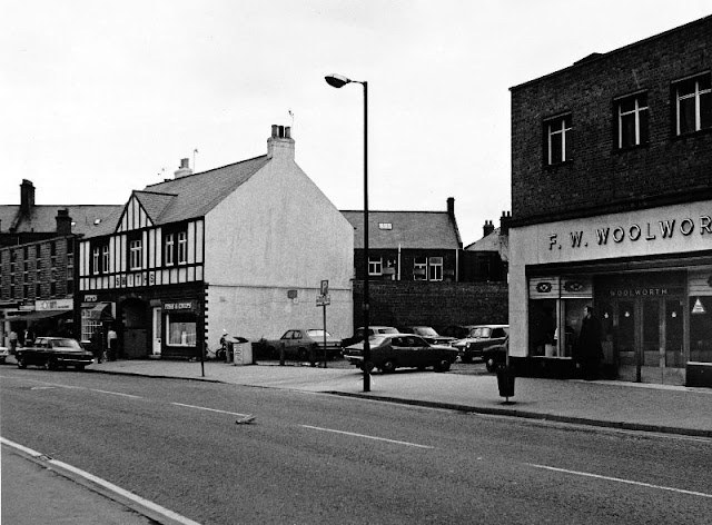
These photos below were taken by pszz that show street scenes of Matlock in the 1970s.

|
| Promenade Fish Bar |
 |
| Road Widening |
 |
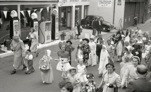
| Silver Jubilee |
 |
| Silver Jubilee |
 |
| Smedley Street East |
 |
| Town Hall |
 |
| View Of Matlock From Snitterton |
 |
| View Of Matlock From Snitterton |
 |
| Waiting For The Parade |
 |
| Woolworths |
 |
| Woolworths |
 |
| Woolworths |
 |
| Bank Road. Crown Square |
 |
| Bank Road. Liptons |
 |
| Canoeing On River Derwent |
 |
| Cawdor Quarry |
 |
| Cawdor Quarry |
 |
| County Offices |
 |
| Crown Hotel |
 |
| Derwent River Bridge |
 |
| Edgefold Road |
 |
| Flood Defences, River Derwent |
 |
| Flood Prevention Work, River Derwent |
 |
| Flood Prevention Work, River Derwent |
 |
| Flood Prevention Work, River Derwent |
 |
| Hikers On Rail Way, Viewed From Bridge At Old Road |
 |
| Main Street |

|
| Matlock And Cawdor Quarry, From Snitterton Road |

|
| North Parade |

|
| Old Gas Works Buildings |


